63 BRECKENRIDGE ST (PALM)
Owner Information
LAVIOLETTE ROBERT M
63 BRECKENRIDGE ST
PALMER, MA 01069


Property Details
63 BRECKENRIDGE ST (PALM) is classified as a Single Family Residential (Cape cod).
The primary structure on this property was built in 1952. There are 3016ft2 of built area within this property. There is 1237ft2 of residential/living space within this property. This property is listed as having 6 rooms.
63 BRECKENRIDGE ST (PALM) is valued at 156500. The land is valued at 43000 and the structures are valued at 113500.
This property is in Zone TR. Confirm with local Zoning Board authorities to ensure there are no overlays or other easements on this property.
63 BRECKENRIDGE ST (PALM) was last sold on 1989-01-01 for 0.
Assessment data from fiscal year 2022.
Flood Data
According to the FEMA National Flood Hazard Layer, this property does not appear to be in a flood zone. It may also be in an area not yet reviewed. Nonetheless, confirm this information prior to taking any action.
To view the flood hazards around this property, create a FEMA "Firmette" Map of the area around 63 BRECKENRIDGE ST (PALM).
Broadband Internet Providers
| Provider | Type | Bandwidth (mbps) | |
|---|---|---|---|
| Comcast | Cable | 1000 | 35 |
| Verizon New England Inc. | DSL | 10 | 1 |
| HughesNet | Satellite | 25 | 3 |
| GCI Communication Corp. | Satellite | 0 | 0 |
| VSAT Systems, LLC. | Satellite | 2 | 1 |
| Viasat Inc | Satellite | 100 | 3 |
Broadband service provider data from December 2020.
Adjacent Properties
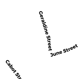
- 58 CABOT ST (PALM)
Single Family Residential owned by DEMERS ROSEMARY L - 66 CABOT ST (PALM)
Single Family Residential owned by COUTURE ALFRED J - 65 BRECKENRIDGE ST (PALM)
Single Family Residential owned by STONE BARBARA J (LE) - 59-61 BRECKENRIDGE ST (PALM)
Two-Family Residential owned by DARLING WILLIAM A - 62 CABOT ST (PALM)
Single Family Residential owned by DENHAM STEPHEN